Trails and paths
Walking itineraries through the hills of Vinci
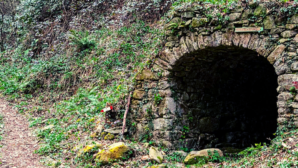
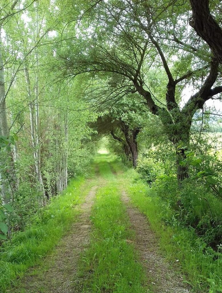
Trail No. 16 C – from Sant’Amato to the Barco Reale Mediceo lock
Lenght:
2000m A/R
Type of path: Pedestrian.
Surface: Unpaved with some sections of paved road.
Difficulty: Easy with gentle slopes.
Type of path: Pedestrian.
Surface: Unpaved with some sections of paved road.
Difficulty: Easy with gentle slopes.
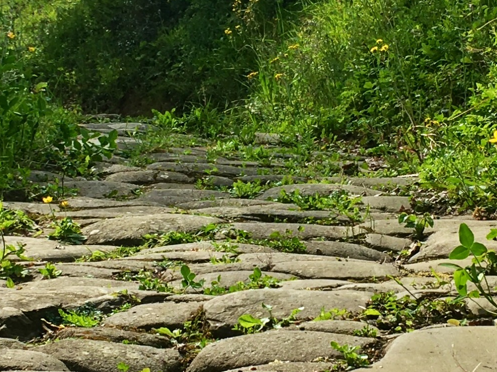
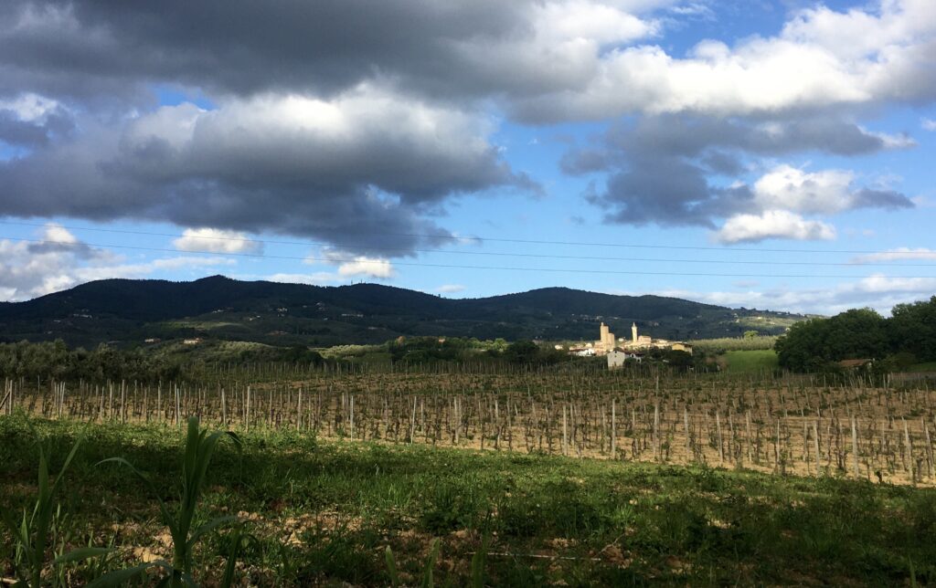
The trail begins at the Church of San Pietro in Sant’Amato and ends at the Barco Reale Mediceo lock, an ancient walled enclosure that once covered more than 4,000 hectares along the Montalbano ridge. It was used both as a hunting reserve for the Medici family and as a protected area for the preservation of woods and shrubs, which were periodically harvested for firewood production. The stone wall perimeter, mainly built with sandstone bound by lime, was interrupted by sluices that allowed water to flow while containing the game.

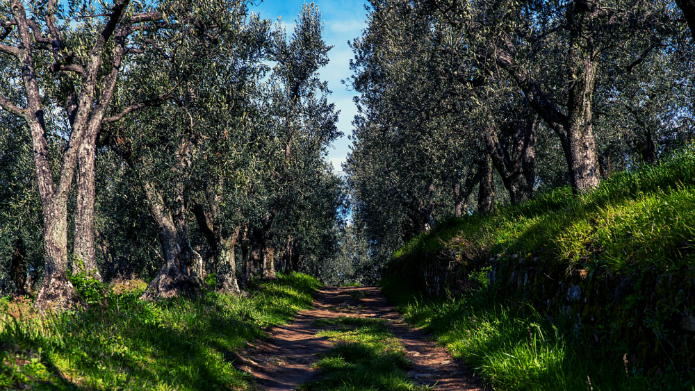
Trail n. 16 – the road of the Mills
Lenght:
650 m
Type of path: Pedestrian, cycling.
Surface: Unpaved with some sections of paved road.
Difficulty: Easy with gentle slopes.
Type of path: Pedestrian, cycling.
Surface: Unpaved with some sections of paved road.
Difficulty: Easy with gentle slopes.
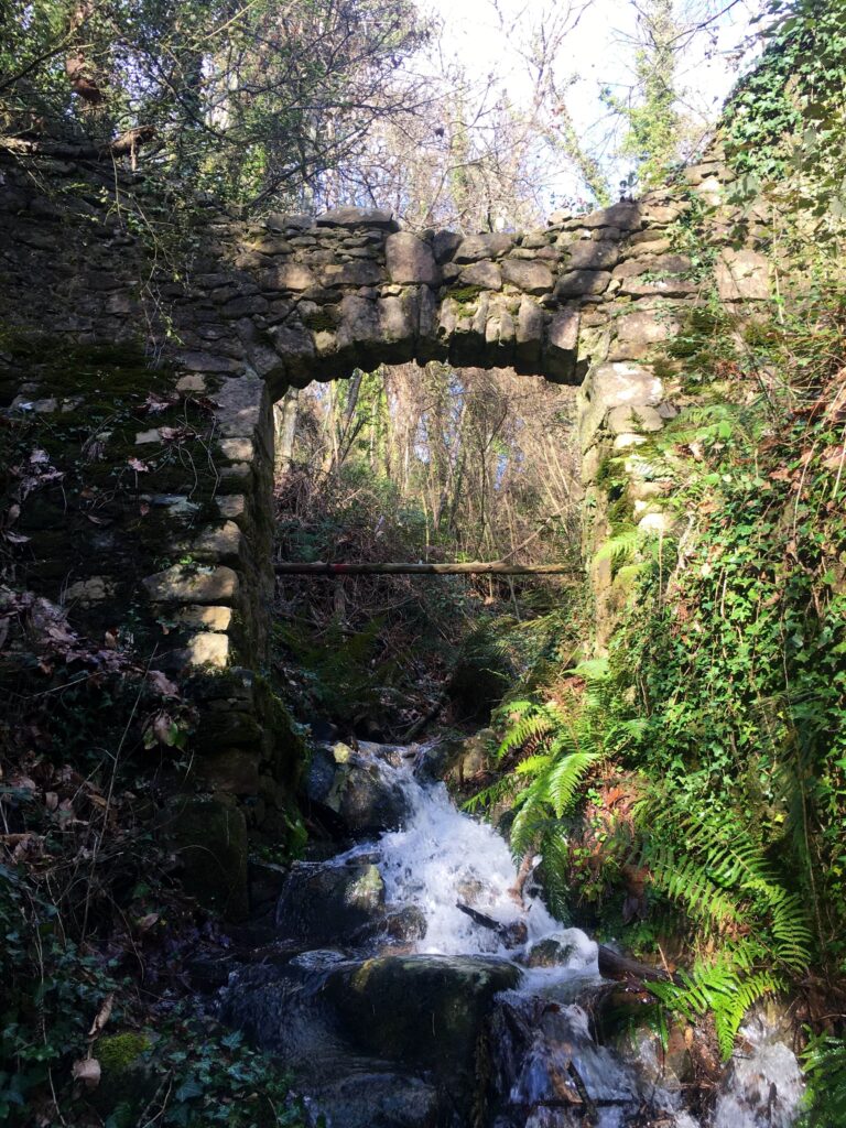
The trail begins near the ancient Mulino Baldassini, on the road leading to the locality of Sant’Amato. The mill dates back to 1581, as indicated by the inscription carved on one of the cornerstones of its facade. The path, shaded and very cool in summer, winds through the woods alongside the Vincio stream, which in this particular section is called the Forra dell’Acqua Santa.
The name of the trail comes from the presence of five hydraulic mills, built between the 16th and 18th centuries. Although they are unfortunately not in good condition, many of their characteristic and essential features can still be observed. Some of these mills remained operational until the 1950s.
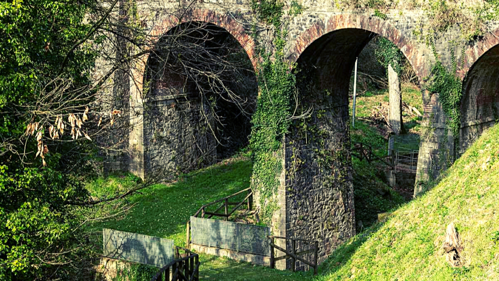
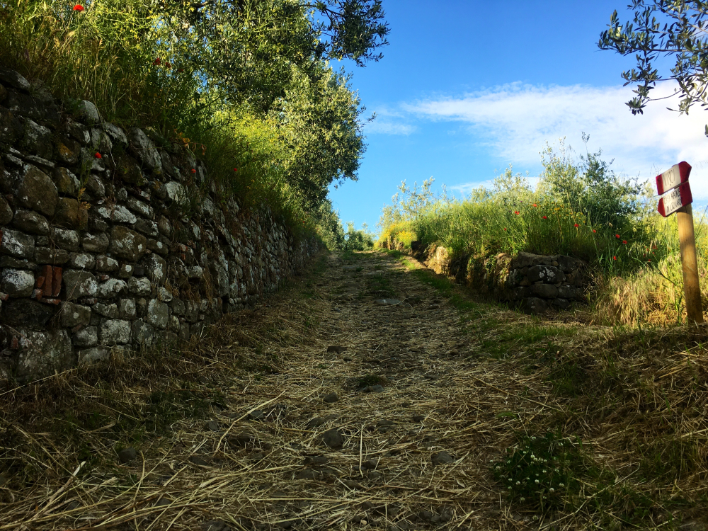
At the end of the trail, the remains of the Barco Reale Mediceo Wall are visible—an immense hunting reserve established in the 1600s that stretched across the entire Montalbano ridge, forming a circuit of about 50 km.
The Via dei Mulini trail can be reached from Leonardo’s Birthplace by walking approximately 800 meters along a paved road.

Trail No. 14 – Anchiano, S. Lucia, and Faltognano
Type of path:
Pedestrian, cycling.
Surface: Unpaved with some sections of paved road.
Difficulty: Moderate with some steep sections.
Surface: Unpaved with some sections of paved road.
Difficulty: Moderate with some steep sections.
The Via del Vincio
Lenght:
16,7 km
Type of path: Pedestrian, cycling.
Surface: Unpaved and paved road.
Difficulty: easy
Type of path: Pedestrian, cycling.
Surface: Unpaved and paved road.
Difficulty: easy
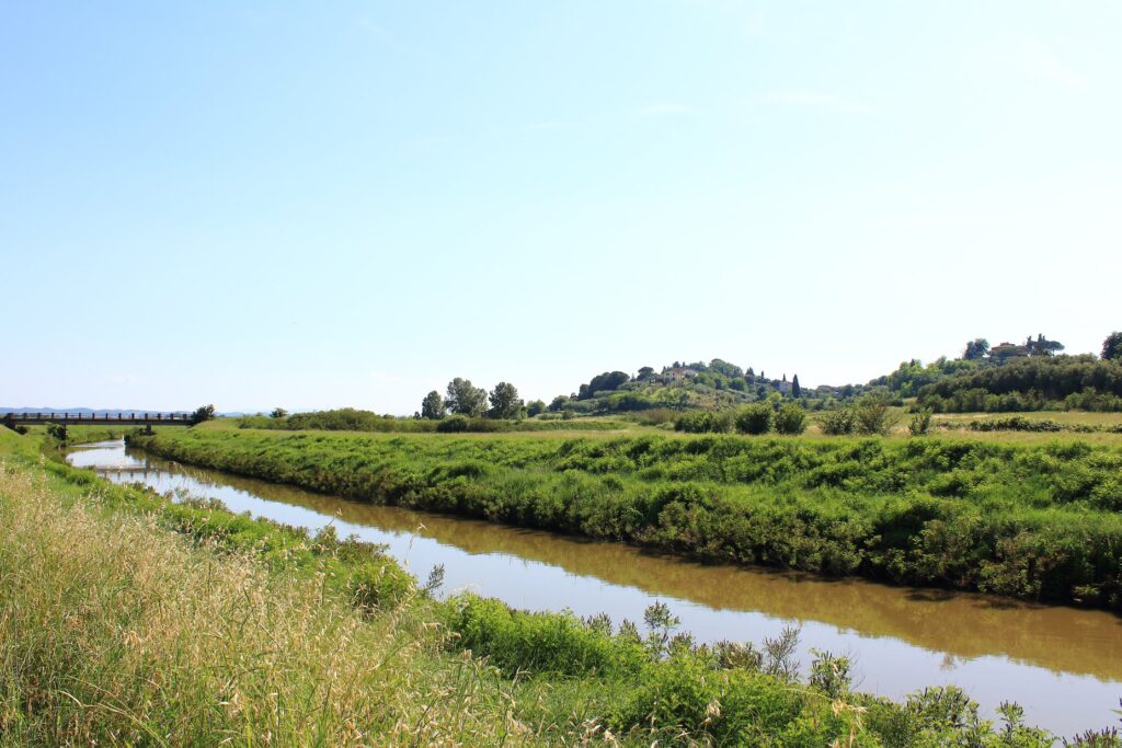
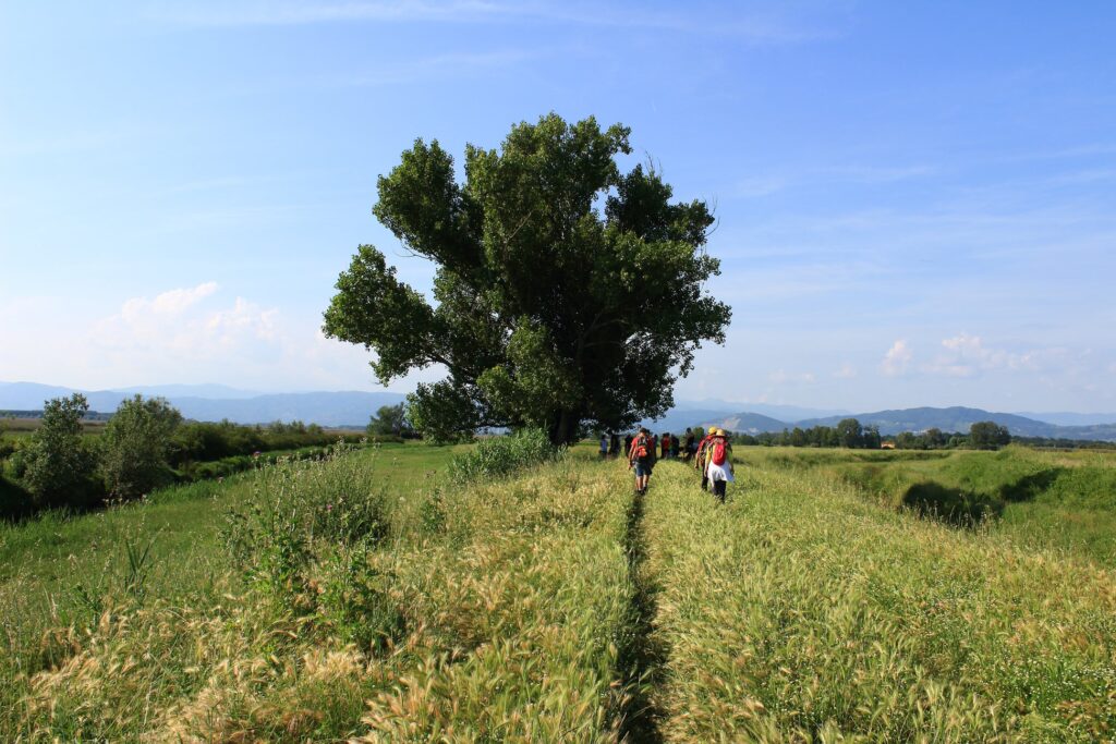
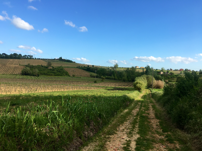
The route connects the Via Francigena to the trails of Montalbano. It begins on the Via di Caterina, the ancient path that Leonardo’s mother used to take from her home in San Pantaleo to the center of Vinci. The trail runs alongside the Vincio stream, crosses the Padule di Fucecchio—a nature reserve of significant scenic and wildlife interest—and finally reaches the Medici Bridge of Ponte a Cappiano.
Green Path n. 14
Lenght:
1800 m (from the center of Vinci to Leonardo's Birthplace).
Type of path: Pedestrian, cycling.
Surface: Unpaved with some sections of paved road.
Difficulty: Easy with moderate slopes.
Type of path: Pedestrian, cycling.
Surface: Unpaved with some sections of paved road.
Difficulty: Easy with moderate slopes.
The trail connects the center of Vinci with Leonardo’s Birthplace in Anchiano. It begins on the north side of the village, along a paved road that runs beside the Mulino della Doccia, a mill mentioned by Leonardo da Vinci in the Codex Atlanticus. The path then climbs steeply, winding through vineyards and olive groves, and offers magnificent views of Vinci and the surrounding countryside.
The Strada Verde is the most well-known and historic trail in Vinci—once referred to as the Via Botanica. Along the route, visitors can explore the Acquaria art park, take a short detour to see the water intake of the Mulino della Doccia and visit the charming hamlet of Leano.
Romea Strata
Lenght:
797 km, section San Baronto – Fucecchio 26.3 km
Type of path: Pedestrian, cycling.
Surface: Paved and unpaved road
Difficulty: Moderate
Sito web: www.romeastrata.it
Type of path: Pedestrian, cycling.
Surface: Paved and unpaved road
Difficulty: Moderate
Sito web: www.romeastrata.it
It is an ancient pilgrimage route that, through five different paths, connects Northern Europe to Rome and then to Santiago and Jerusalem. The San Baronto – Fucecchio section passes through the Torre di Sant’Alluccio, Santa Lucia, Anchiano, Vinci, and continues towards Cerreto Guidi.
The Etruscans’ Trail
Lenght:
90 km
Type of path: Pedestrian, cycling.
Surface: Road mostly paved with some unpaved sections.
Difficulty: Moderate
Sito web: met.cittametropolitana.fi.it
Type of path: Pedestrian, cycling.
Surface: Road mostly paved with some unpaved sections.
Difficulty: Moderate
Sito web: met.cittametropolitana.fi.it
Leonardino Trail
Lenght:
Upper trail 17 km, lower trail 19 km
Type of path: Pedestrian, cycling.
Surface: Unpaved and paved road.
Difficulty: Moderate
Sito web: illeonardino.it
Type of path: Pedestrian, cycling.
Surface: Unpaved and paved road.
Difficulty: Moderate
Sito web: illeonardino.it
The Leonardino trail is a cultural, natural, and spiritual trail following in the footsteps of the young Leonardo da Vinci. Along the way, you can retrace the paths, valleys, woods, and hills between Anchiano and Montevettolini, experiencing a unique journey through the places where Leonardo was born. The idea for this itinerary stems from his earliest known drawing, dated 1473, which bears his own note: “Di Santa Maria della Neve addì 5 d’agosto 1473.”
The Way of Santa Maria
Lenght:
8000 m
Type of path: Pedestrian, cycling.
Surface: Unpaved with some sections of paved road.
Difficulty: easy
Type of path: Pedestrian, cycling.
Surface: Unpaved with some sections of paved road.
Difficulty: easy
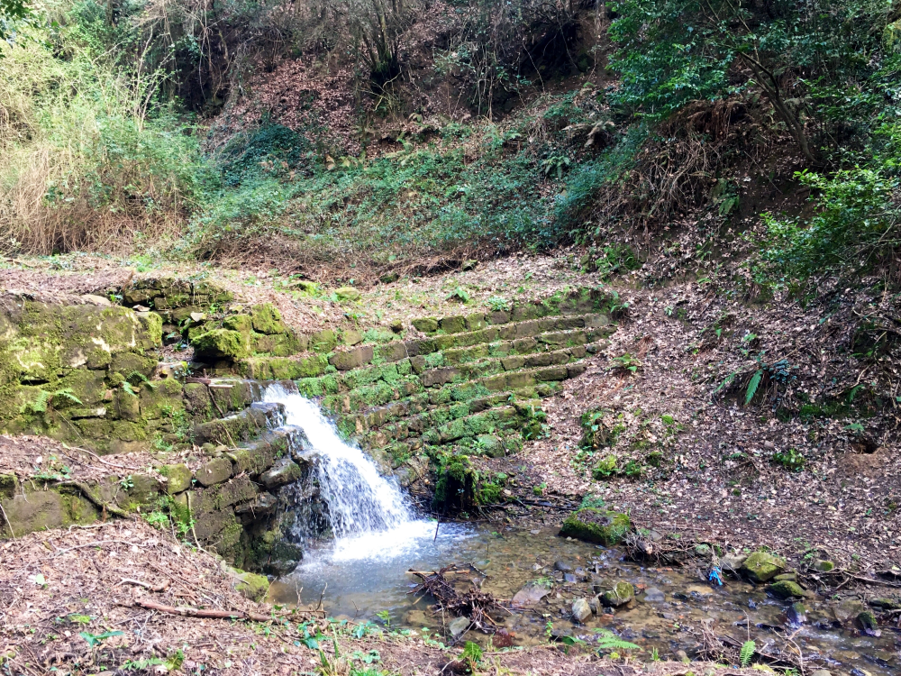
It is an ancient road that connected the present-day locality of Tigliano, in the municipality of Vinci, with the spiritual center of the church of Orbignano. The route starts from the Mulino della Doccia (drawn by Leonardo in the early 1500s), passes by the Colombaia farms, once owned by the Da Vinci family, and crosses three ravines with streams and old mills. Recently, an ancient paved road of about 200 meters, long forgotten for decades, has been rediscovered.
The Cypress Road
Lenght:
5000 m
Type of path: Pedestrian, cycling.
Surface: Unpaved and paved road.
Difficulty: easy
Type of path: Pedestrian, cycling.
Surface: Unpaved and paved road.
Difficulty: easy
The road, named after the distinctive cluster of trees located along the ridge, is an ancient route with commercial purposes that connected Vinci to the Empoli market and the banks of the Arno River. The earliest recorded mention of the Cypress Road appears in the map Piante di popoli e strade from the second half of the 16th century.

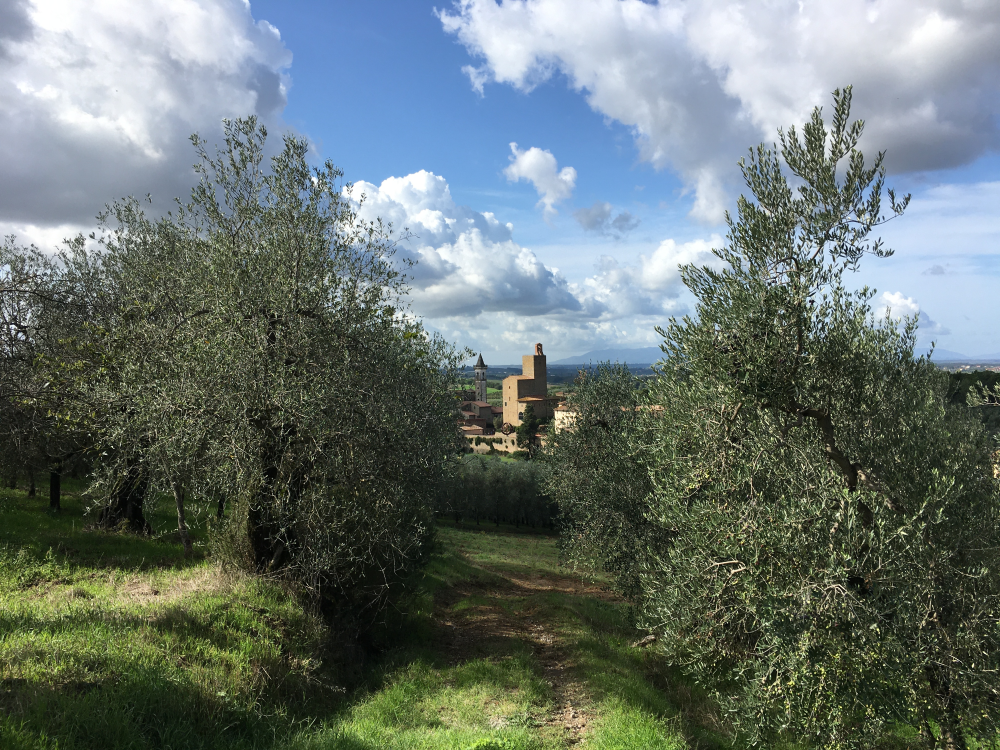
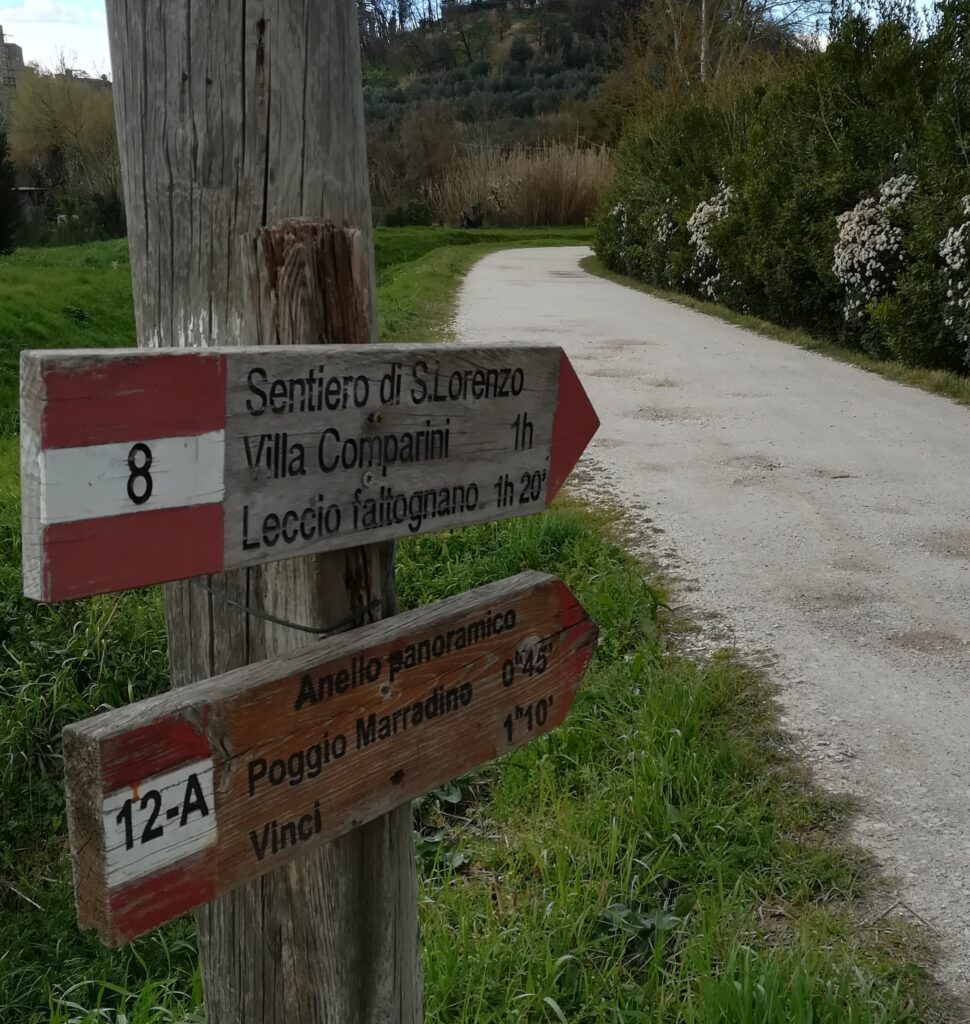
Trail No. 8 – from Vinci to Faltognano
Lenght:
2000 m
Type of path: Pedestrian.
Surface: Unpaved and paved road.
Difficulty: Easy with moderate slopes.
Type of path: Pedestrian.
Surface: Unpaved and paved road.
Difficulty: Easy with moderate slopes.
The uphill trail begins at Via Ripalta and ends in the locality of Faltognano, near the Fattoria di Faltognano, just a short distance from the ancient holm oak. Along the route, fully immersed in nature, you can enjoy views of the Valdarno Valley, the Pisani Mountains, and the Apuan Alps. It is also possible to do the trail in reverse, which in that case is entirely downhill.
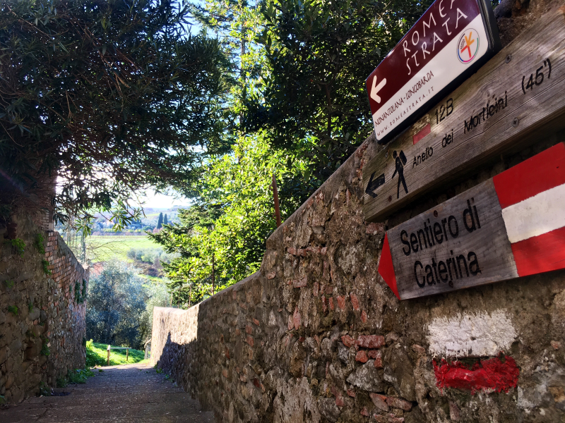
Trail No. 12 C – Via di Caterina
Lenght:
4200 m
Type of path: Pedestrian, cycling.
Surface: Unpaved with some sections of paved road.
Difficulty: Easy with gentle slopes.
Type of path: Pedestrian, cycling.
Surface: Unpaved with some sections of paved road.
Difficulty: Easy with gentle slopes.
The trail is named after Leonardo’s mother and is believed to be the path Caterina took from her home in San Pantaleo to the house where her son lived with his grandparents in Vinci. The trail begins in Piazza Leonardo da Vinci, beneath the Androne Ciofi. Along the way, you can enjoy a charming view of the Vincio valley.
The Via di Caterina ideally ends at the church of San Pantaleo, but it is possible to continue and return to the starting point by passing through the localities of Mazzantino and Piastrino.
In winter or after rain, the lower part of the trail along the Vincio stream can be muddy.
Trail No. 12 A – Poggio di Marradino
Lenght:
3200 m
Type of path: Pedestrian, cycling.
Surface: Unpaved with some sections of paved road.
Difficulty: Easy with moderate slopes.
Type of path: Pedestrian, cycling.
Surface: Unpaved with some sections of paved road.
Difficulty: Easy with moderate slopes.
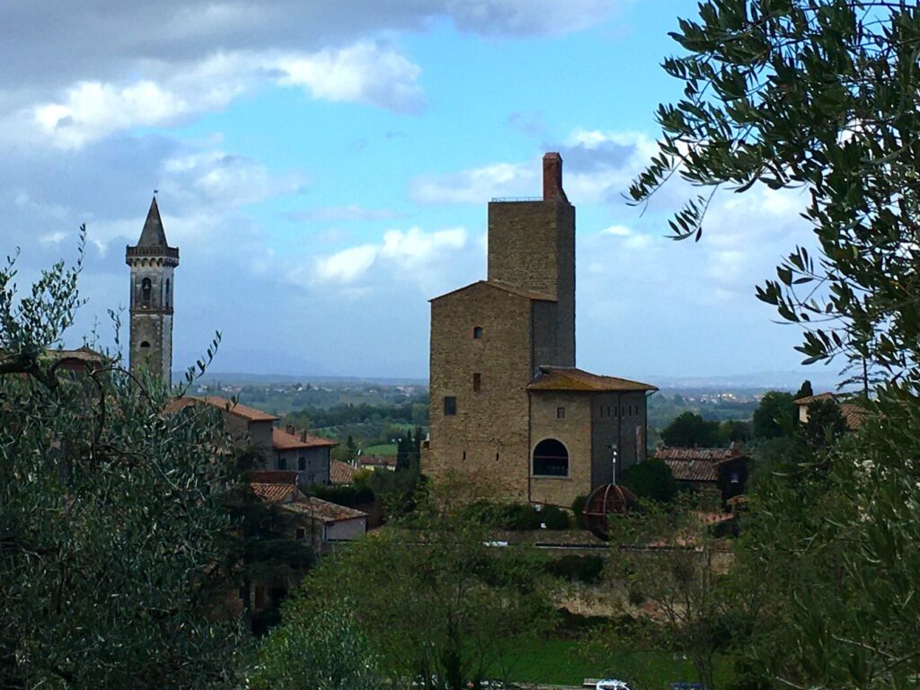
The trail starts from the center of Vinci near the ancient Mulino della Doccia, mentioned by Leonardo da Vinci in the Codex Atlanticus. It is a loop route that circles a small hill called “Poggio di Marradino,” suitable for a short excursion just outside the town and offering beautiful views of the Castello dei Conti Guidi.
This route is essentially a Leonardian itinerary, as the Vinci genius designed an artificial lake here, illustrated in three drawings (RLW 12675/12676 and Codex Atlanticus folio 952r). The project involved building a small dam to collect water for irrigation or as a hydraulic energy reserve.
From the Poggio di Marradino trail, it is possible to divert onto the Via di San Lorenzo (trail 8A) towards Faltognano, a locality known for its ancient holm oak (registered in the Monumental Trees Registry of the Tuscany Region), which stands impressively in the panoramic square in front of the ancient church.
The trail can also be accessed starting from the Ripalta parking area.